- Messages
- 494
- Name
- Derek
- Edit My Images
- Yes
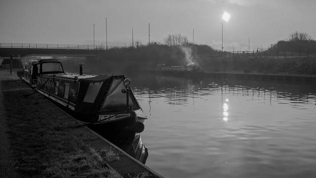
I've been pondering on doing a project for sometime, in order to give myself a bit of direction now and then. As most of my photography, recently, has been whilst walking the towpath of the Gloucester to Sharpness Canal, I thought turning those walks into a project would be an easy way to start. So I've come up with the plan to do a small selection of photos illustrating each mile of the 16 miles length. I'm not sure how this will pan out, but for now it's about taking a selection of shots, culling them into something manageable, and then later assembling them.
Today is mile # 1. All of these were taking on the tiny Lumix GM1 and the 12x32 lens - although I'm not restricting myself to any specific camera, lens, or style for the project.
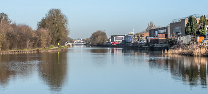
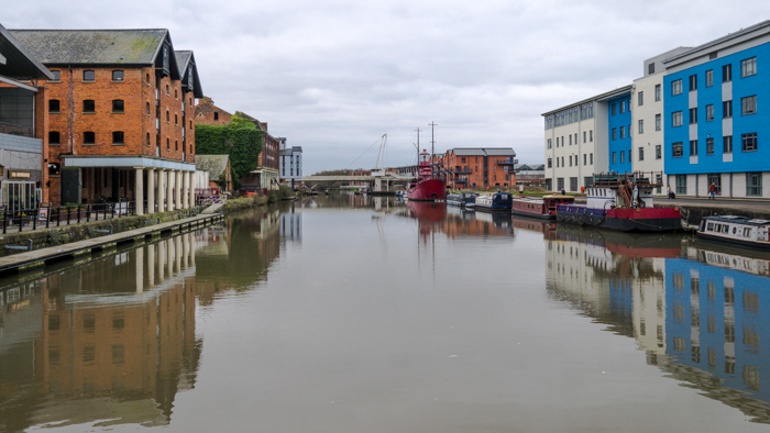
The start: mile zero. This is a shot taken from the bridge which marks the start of the canal. Behind me is Gloucester docks.
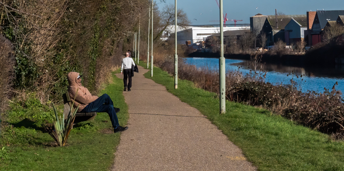
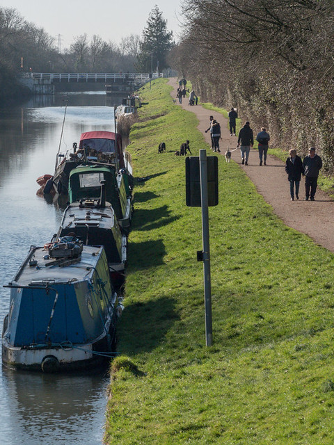
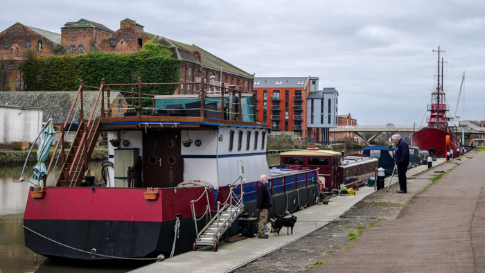
One of the reasons I took the GM1 (apart from the fact I was on my bike and wanted something that I could fit in my pocket) is that I wanted to try and use a wide lens and get lots of layers into some of the shots. This one is called "The Conversation".
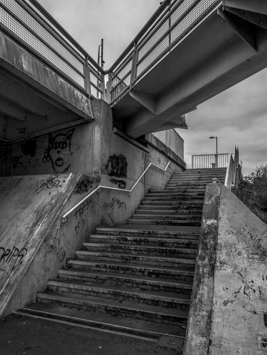
Here we have "The Steps" - leading from the second bridge on the canal down to the towpath:
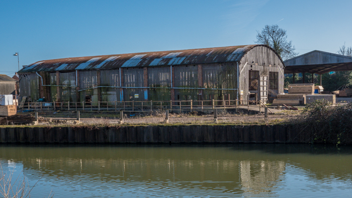
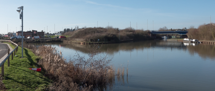
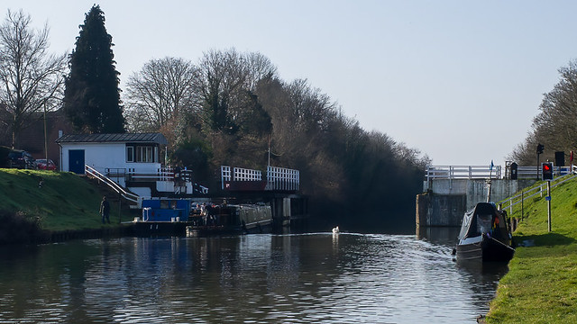
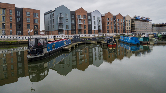
This part of the canal - a turning bay for large ships - was completed in 1892. Now being converted to waterside accommodation - hence the title "New Build":
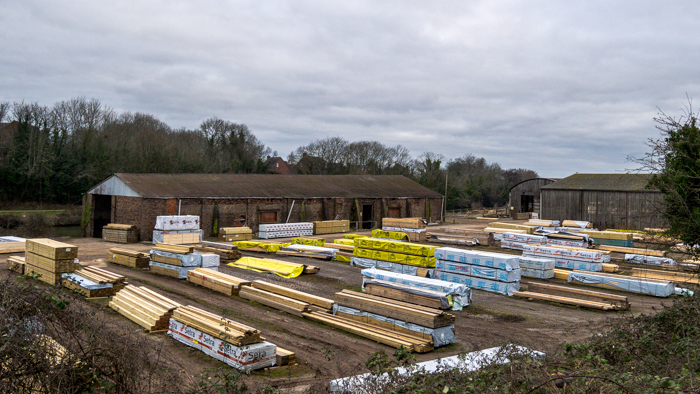
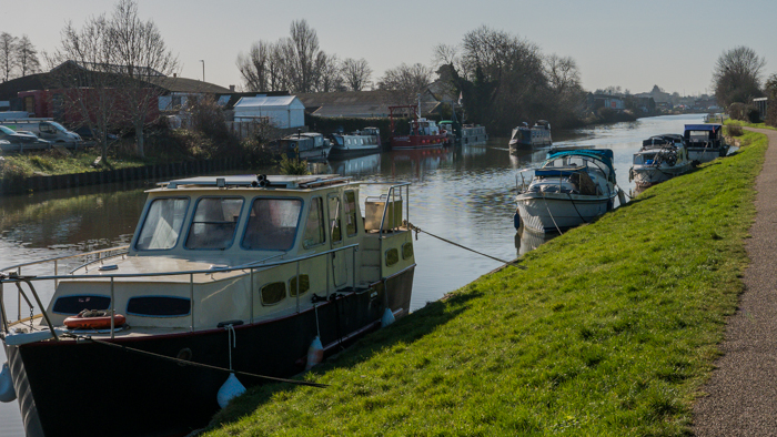
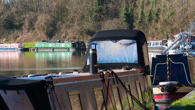
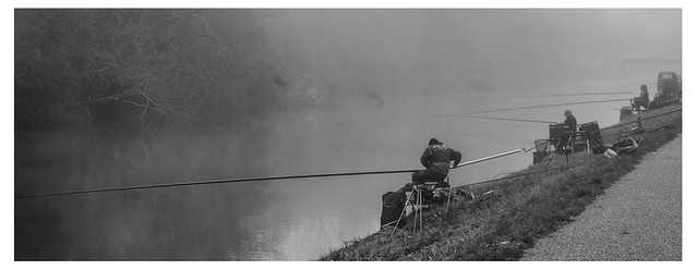
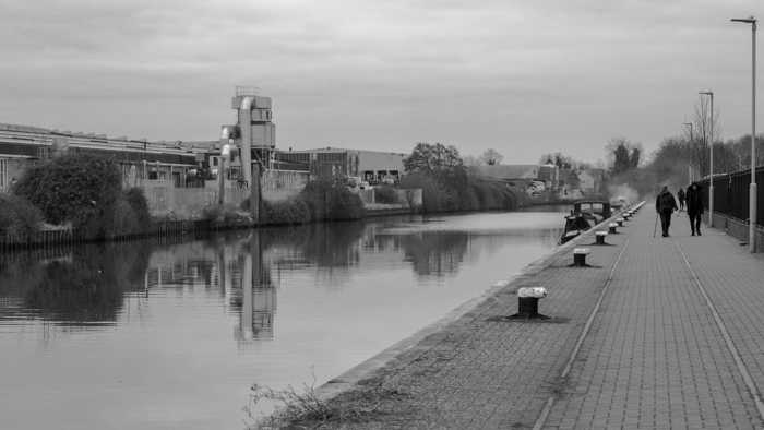
There will be more people shots (probably anglers and boaters) as I get to less built up areas of the canal. This long wharf is very popular with lure fisherman after pike and zander. Alas, there were none there today (they were all in mile # 2). I was down here recently when the whole area was thick with police and police-divers dragging the canal searching for a murder weapon...
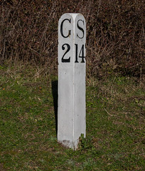
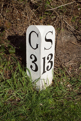
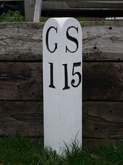
And here we have the milepost that marks the end of mile # 1 (Gloucester 1 mile / Sharpness 15 miles).
Today is mile # 1. All of these were taking on the tiny Lumix GM1 and the 12x32 lens - although I'm not restricting myself to any specific camera, lens, or style for the project.
The start: mile zero. This is a shot taken from the bridge which marks the start of the canal. Behind me is Gloucester docks.
One of the reasons I took the GM1 (apart from the fact I was on my bike and wanted something that I could fit in my pocket) is that I wanted to try and use a wide lens and get lots of layers into some of the shots. This one is called "The Conversation".
Here we have "The Steps" - leading from the second bridge on the canal down to the towpath:
This part of the canal - a turning bay for large ships - was completed in 1892. Now being converted to waterside accommodation - hence the title "New Build":
There will be more people shots (probably anglers and boaters) as I get to less built up areas of the canal. This long wharf is very popular with lure fisherman after pike and zander. Alas, there were none there today (they were all in mile # 2). I was down here recently when the whole area was thick with police and police-divers dragging the canal searching for a murder weapon...
And here we have the milepost that marks the end of mile # 1 (Gloucester 1 mile / Sharpness 15 miles).
Last edited:
")