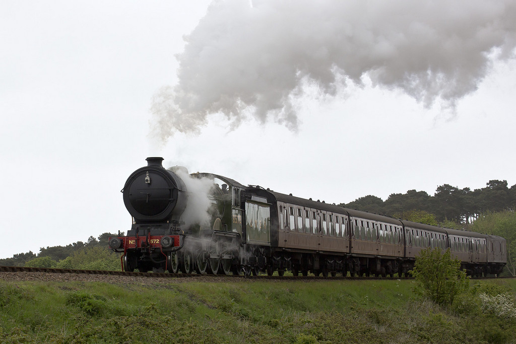
Leave Sheringham on the A149 towards Weybourne. It is known as the Weybourne Road, then the Coast Road, then Sheringham Road. At some point the railway becomes visible from the road to the right of the direction of travel, and has to cross the road over a bridge to get to Weybourne Station. Before you get to the bridge you can pull off the road into a field gate on the left hand side of the road. Cross the road and the field oppsoite is open and you can get a good view of the trains coming from Sheringham.
The picture below was taken from that spot.
Sorry I cannot be more accurate but I have not been able to find a map that shows the road and the railway and where the latter crosses the former.
Hope this may help a bit - enjoy if you get there!
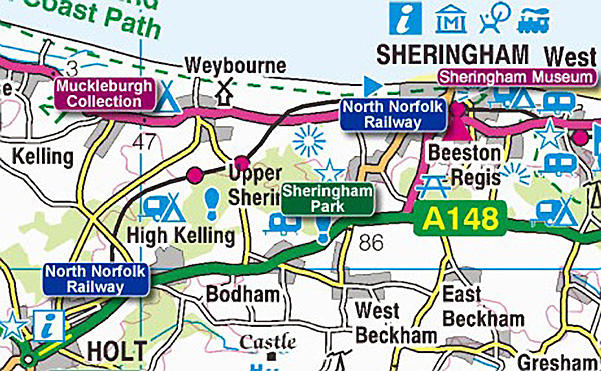
This may be of more help. The road is in red and the railway in black - the field gate and the field opposite it are just before the railway crosses the road.
Google maps was not a great deal of help as they do not show the railway line. You are likely to do much better with an AA Map or this one which I have just found:
If you put this URL into your browser (or click on the link) it will place you in street view right on the level crossing at Sweetbriar Lane. You can then explore in street view or pull back to ground view.
This site uses cookies to help personalise content, tailor your experience and to keep you logged in if you register.
By continuing to use this site, you are consenting to our use of cookies.