Wow - they really seem to have upset you

Anyway, I couldn't see the point of W3W - i's just another geolocation scheme and we seem to have plenty of those.
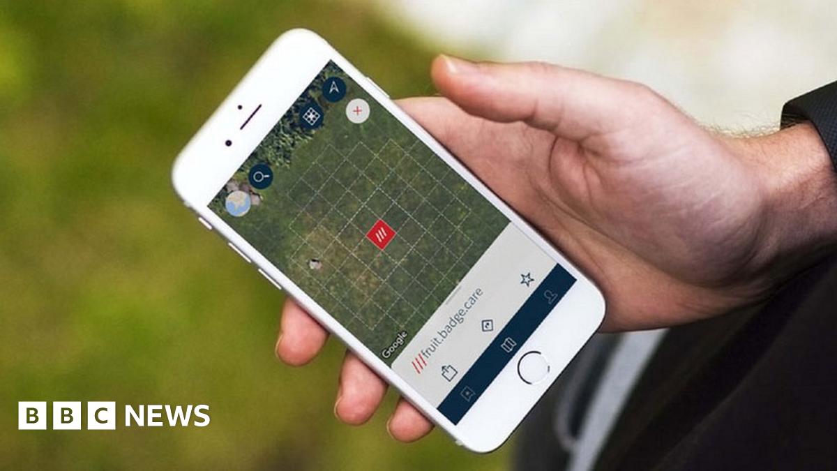
But I spend a bit of time outdoors now and again and sometimes it's pretty much off the beaten track. One day I saw a blog post by the search and rescue teams that I would rely on if something terrible happened. They asked me to install W3W on my phone. So I did. It seemed the least I could do to help them.
(BTW in case you're worried, if I'm *seriously* outdoors then I'll have (1) phone with GPS, Google maps, emergency contact numbers AND W3W (2) a watch that will show GPS location (dual system in case that nice Mr Trump decides to turn his off (3) Old school map and compass - you can't be too careful, right?)

")
 )
)