Drone No Fly Zones

Messages
500
Name
Nigel
Edit My Images
No
Morning,

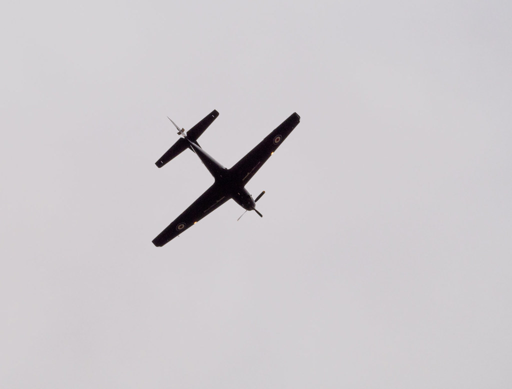
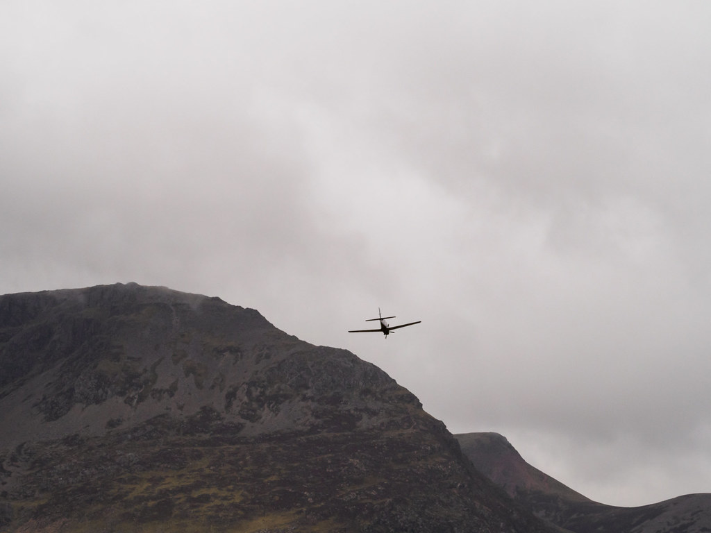
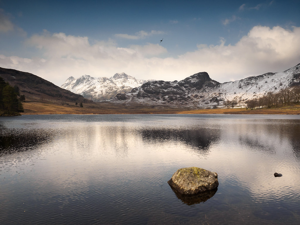
Sorry if this is the wrong section ... okay so new drone owner ... Up in the Lake District with the Mavic air and decide to do a bit of flying. In beginner mode. Up a fell so already at a bit of a height. Get the drone out and it starts to moan about compass calibration ... try to calibrate and it's still complaining ... Getting frustrated ... Then I hear engines overhead and two what looked like old war planes (spitfire type) buzz overhead .... rather low ...

I think if the compass calibration had not have been in play the drone may have been around their height - scared the bejeebies out of me - the last thing I want is to cause issues but then again didn't see any warmings then nor indeed now looking at the no-fly zones?

Thoughts?

Nigel
This is why it should require a licence to operate a drone
 
Lake district isn't a no fly zone for drones. http://www.noflydrones.co.uk/

There must be something going on, I do wonder where would one find such information?

Notams which are the official notifications are listed here http://www.nats-uk.ead-it.com/public/index.php.htmlalthough this unofficial source maybe more readable http://notaminfo.com


OP. Assuming you were in open airspace and flying legally then it is every pilots responsibility to avoid an accident. Not purely yours
 
Lake district isn't a no fly zone for drones. http://www.noflydrones.co.uk/

There must be something going on, I do wonder where would one find such information?

There is public data here. http://notaminfo.com/ukmap

But unregulated drone flying is where "that unknown factor" comes into play :(

I wonder how many drone users check the notams before even going to a location......because surely it needs to an enforceable requirement???
 
This is why it should require a licence to operate a drone

This has nothing to do whether Nigel has a licence or not. (By the way, there is no such thing as a drone operating licence. The CAA does issue a Permissions for Commercial Operation, PfCO, that allows the holder to operate commercially under certain defined conditions and parameters)

But to keep on topic, this can happen to any drone pilot and the requirement here is to maintain sufficient awareness of the area surrounding the drone to effectively 'see and avoid' obstacles and other aircraft. When flying, even with a "spotter", I always keep my ears and eyes open and have a continuous plan of action should low flying aircraft approach or are anywhere near my flying area. More often than not, the action is descend quickly and under control. There have been notable exceptions, for example where a drone pilot avoided a chance of a collision with a helicopter by actually ascending, as that was the safest option as the heli was very low and approaching very quickly.

Awareness and avoidance comes with practice and the mindset "what would I do if" is always helpful

Fly safe, Nigel and enjoy the Lake district
 
Last edited:
This is why it should require a licence to operate a drone

I agree.

However sometimes I think that no matter how careful you are there's always the other idiot. If you google min height for light/private aircraft or something like that you'll be shocked at some of the answers.

However, I think most of the time they appear closer than they are as a larger aircraft at say 800 feet may look closer than your little drone at 400 feet.
 
I wonder how many drone users check the notams before even going to a location......because surely it needs to an enforceable requirement???

Checking notams will not guarantee that you will have all the information regarding aircraft movements in any particular area at any particular time. It is a good starting point, however, and should form part of your drone flight planning. Not all aircraft or aircraft operations have to submit a notam.
 
Contact the BMFA for regulations and third party insurance:

https://bmfa.org/

Flying any Radio Controlled Aircraft without some form of cover is irresponsible and could cost you a lot. RC flying is incredibly safe - but aircraft have a habit of finding something expensive to land on/in if things go wrong.
 
There is public data here. http://notaminfo.com/ukmap

But unregulated drone flying is where "that unknown factor" comes into play :(

I wonder how many drone users check the notams before even going to a location......because surely it needs to an enforceable requirement???

If you fly them in the R zones and be caught then you might have a very bad day. Those are related to the MOD camps on the coast
 
Last edited:
There is public data here. http://notaminfo.com/ukmap

But unregulated drone flying is where "that unknown factor" comes into play :(

I wonder how many drone users check the notams before even going to a location......because surely it needs to an enforceable requirement???

I opened the link to check out northern Ireland, clicked on the W to see what it was and turns out it is Game of Thrones filming. They must have their own no flight zone.
 
Please remember the National Trust do not allow flying of powered UAV's on their land except in a very few places or with express permission.
 
Because a licence would have help predict two random planes flying over? :rolleyes:
No - but a least it would ensure that drone operators would know where and where they could not fly, where to look for information on unusual aircraft activity etc.etc. and thus reduce the likelihood of somebody causing an accident through ignorance.
 
No - but a least it would ensure that drone operators would know where and where they could not fly, where to look for information on unusual aircraft activity etc.etc. and thus reduce the likelihood of somebody causing an accident through ignorance.
and also make them consider taking out public liability insurance. Expensive business if you take down an aircraft.
 
and also make them consider taking out public liability insurance. Expensive business if you take down an aircraft.

Yes like spending most of your life in jail lol
 
Not my job to tell people to get insurance, but for £18 per year from FPVuk it does appear incredibly silly not to. A guy hit me with a 4m glider and he was not insured cost him £250 and he was dam lucky to get away with that!
 
Not my job to tell people to get insurance, but for £18 per year from FPVuk it does appear incredibly silly not to. A guy hit me with a 4m glider and he was not insured cost him £250 and he was dam lucky to get away with that!
True. However to link to the bike thread thats in full swing many don't register that in today's sue everyone culture how exposed seemingly everyday actions are to litigation
 
There’s some info here; https://www.gov.uk/government/uploa...e/656298/UK_Military_Low_Flying-withdrawn.pdf but essentially, most of the UK apart from large built up areas is fair game for low flying aircraft. In most areas, fixed wing aircraft are allowed to fly as low as 250ft (100 ft in the Tactical Training Areas) and helicopters 100ft. There are a few areas that are more regularly used than others such as the Mach Loop and the Lake District (the route from Windermere, Grassmere, Thirlmere is relatively popular as is Ullswater).
 
Back
Top