davekiddle
Like to feel muppets
- Messages
- 6,169
- Name
- Dave
- Edit My Images
- Yes
Thanks Dell 


davekiddle. Number 4 is nice, where was it taken?


Some pretty pink ones from this evening - dont know what they are called though Ian.

Sunday 3rd May
BBC4
9.30pm
'Cloudspotting'
Looks like a might fine programme
Oh, and some more clouds. Again in France (don't follow me or you'll get wet)
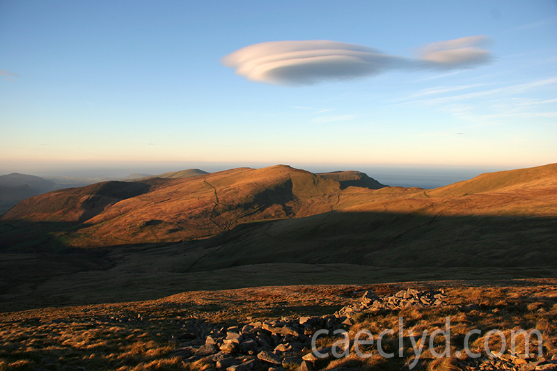
Not great as with a P&S. If anyone can ident the cloud type.

One of the few that I didn't post in the previous cloud threads.
Rain being dumped on the Grand Canyon

Nice capture, that's flattened altocumulus. Often associated with high pressure building over us.
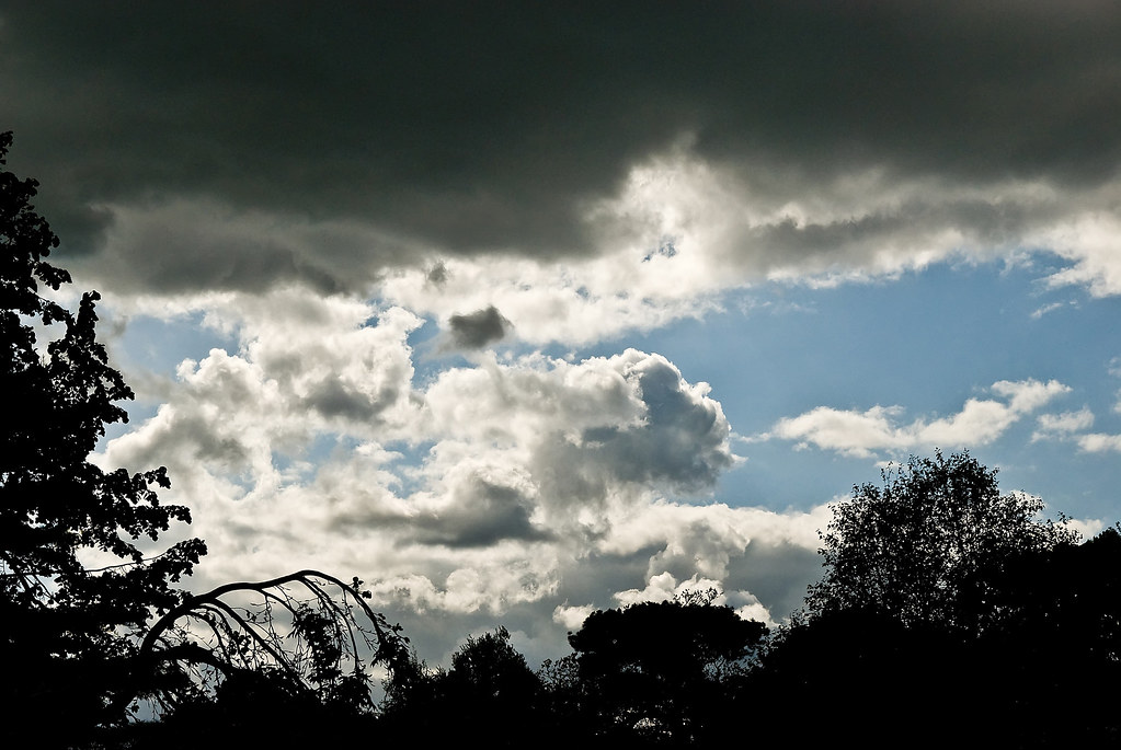
And that is altostratus undulatus. It's usually caused by cold stable air sitting on top of a layer of warm unstable air (rather like cold jelly sitting on top of warm water) and is most often associated with thundery weather. The indentations in the underside of the cloud later is caused by pockets of rising warm air trying to punch through the cold air where eventually it'll trigger off thunderstorm development.
And a fine example it is too. Did you experience any thunder later on that day?


You never fail to amaze me Mr Fish with your information
Seriously though, great explanation
And seriously enjoying this thread still guys!
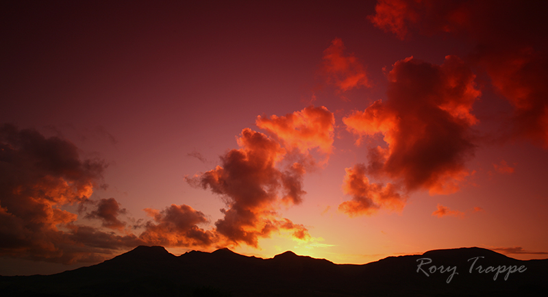
Strong light and very dramatic.


Had to trawl the depths to find this thread,well page 9 at least
Another fluffy one


 Oh well here we go.....